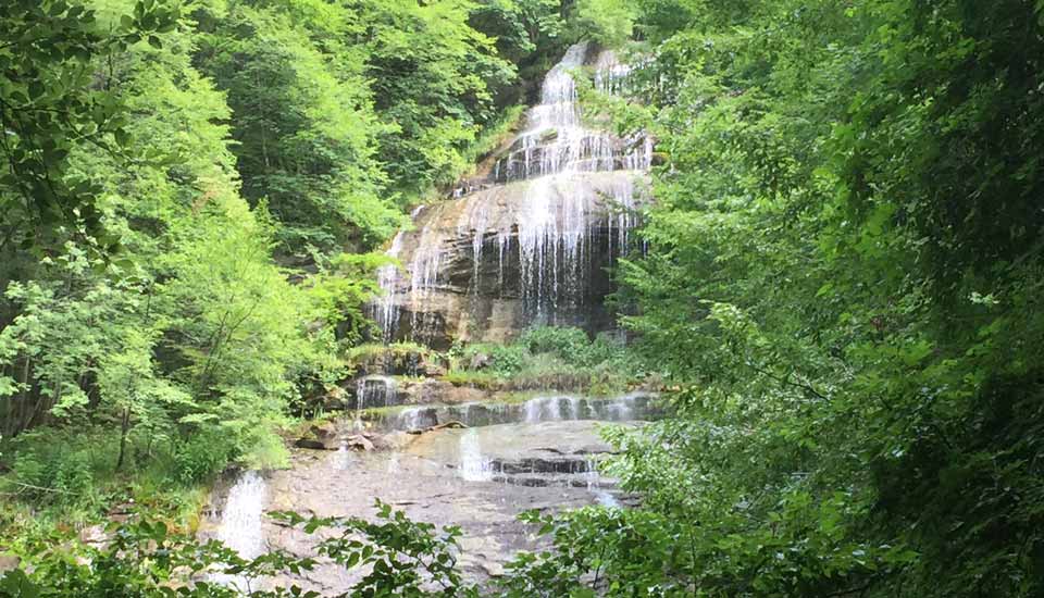
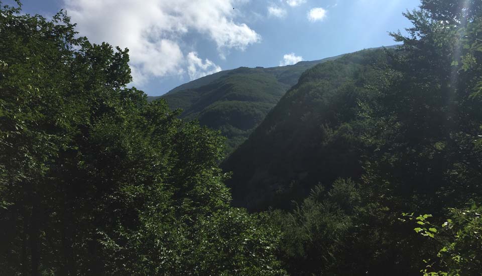
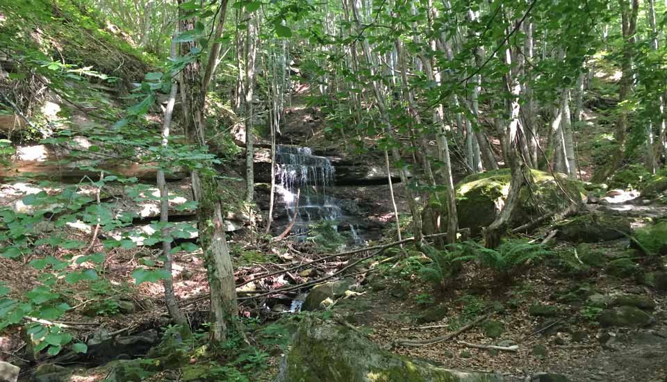
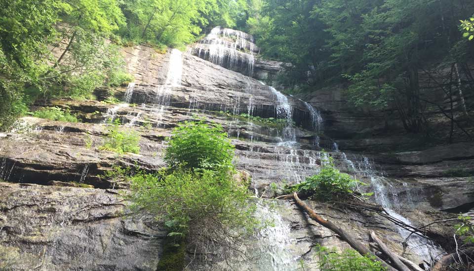
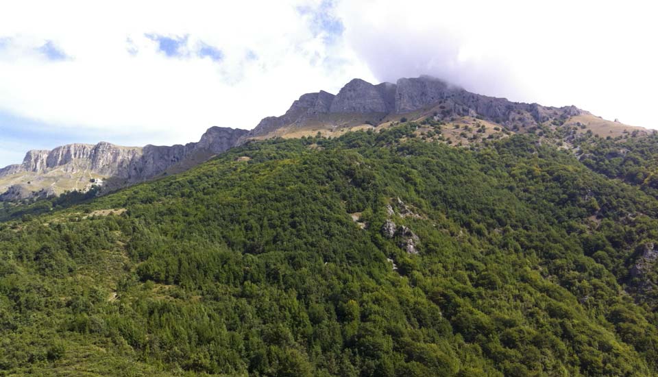
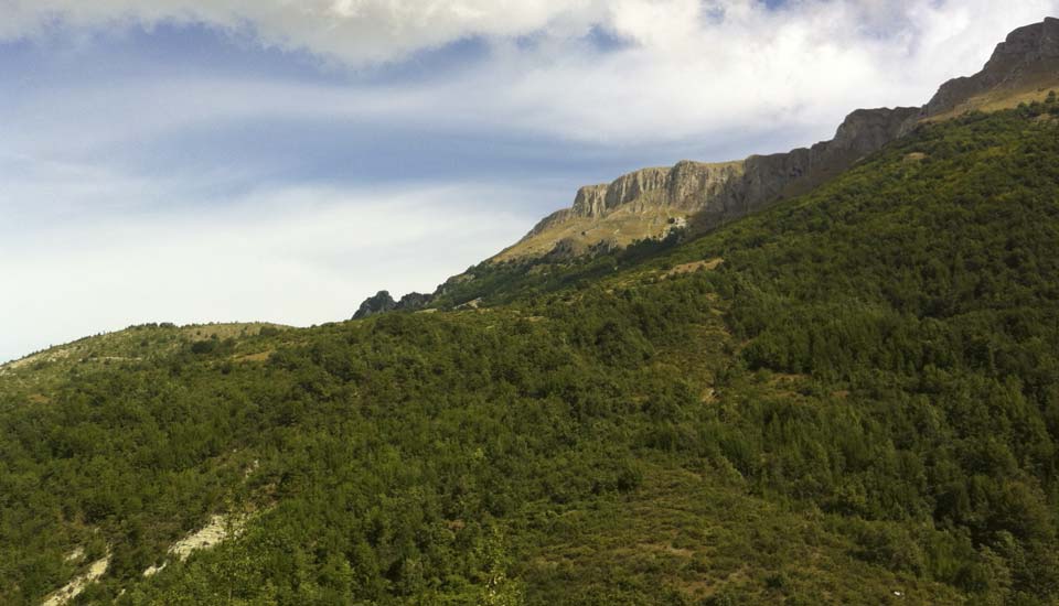
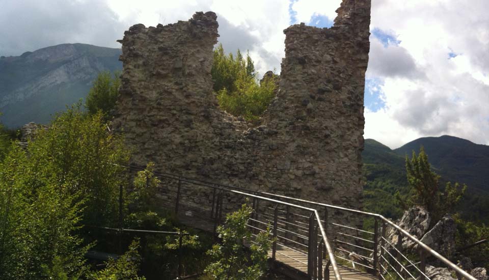
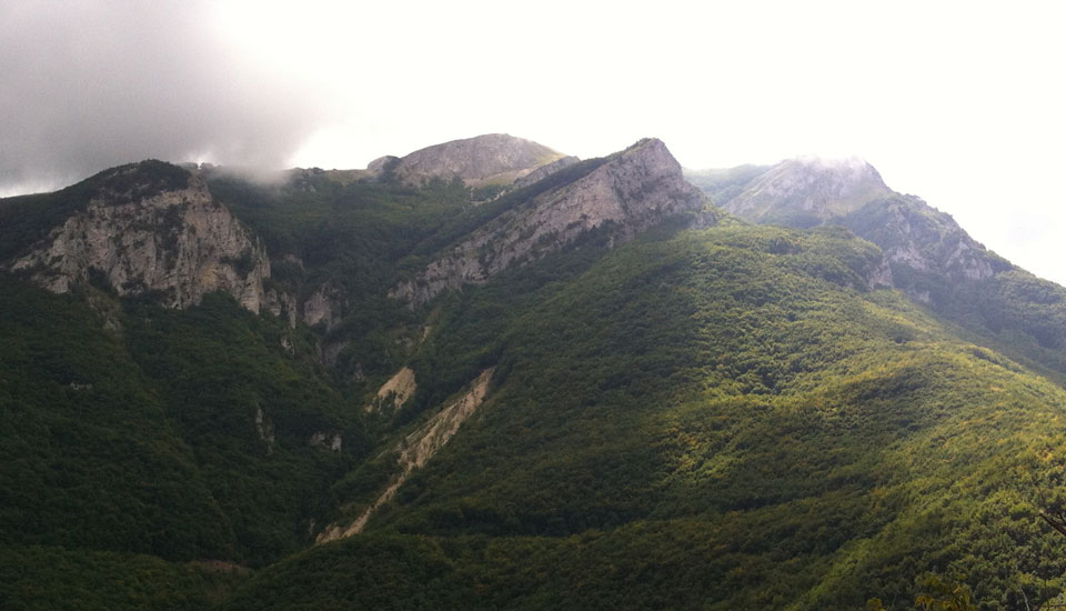
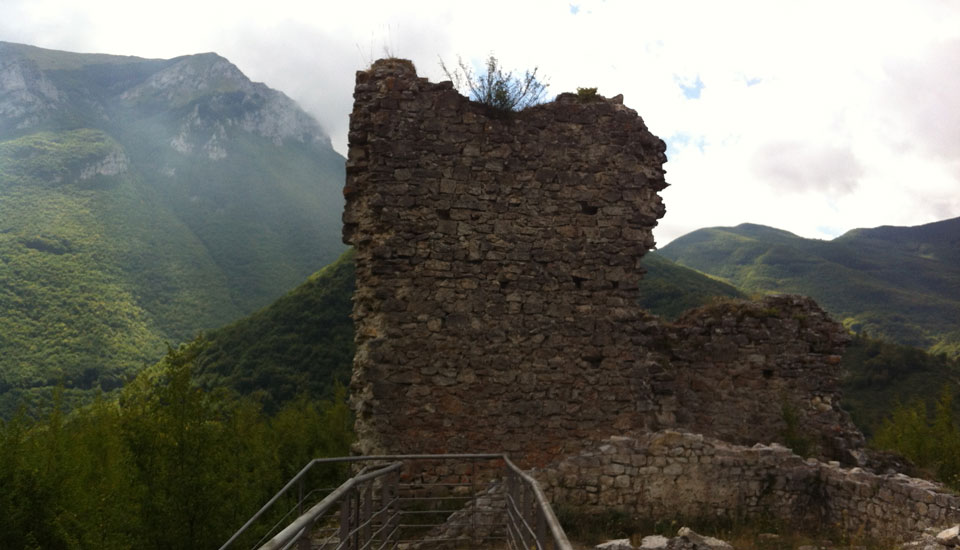
The Monti della Laga mountain range is the highest sandstone peak of the Apennines and the fifth highest mountain range of continental Apennines after Gran Sasso, Maiella, Velino-Sirente and Monti Sibillini. This area lies within the “Gran Sasso e Monti della Laga” National Park. The range stretches along the border of Abruzzo, Marche and Lazio and lies in the Provinces of L’Aquila, Teramo, Ascoli Piceno and Rieti for a total length of 24 km. This range and the Monti Sibillini are separated to the north by the valley of the Tronto River, along which the Via Salaria runs, and to the south by the Gran Sasso range and by the impressive, narrow valley of the Vomano River, which culminates in the Capannelle Pass and the Lake Campotosto. Findings in the area suggest that a branch of the ancient Via Cecilia ran along the valley in times past; nowadays, the State Highway 80 cuts through the valley and connects the city of L’Aquila to the Adriatic coast. Each side of the range shows different characteristics: Marche’s side is harsh, Lazio’s is cliffy and steep while Abruzzo’s is wavy and gentle. The ridgeline of the mountain chain starts in Le Marche from the Monte Comunitore, then rises to the summit of Macera della Morte (2073 m) -the border of Marche, Lazio and Abruzzo Regions- and finally climbs to the height of 2458 m where the Monte Gorzano, the highest peak of the range (and of the Lazio Region), lies. Other renowned peaks are Cima Lepri (2445 m), Pizzo di Sevo (2419 m)-at the border between Lazio and Abruzzo- Pizzo di Moscio (2411 m) and Monte di Mezzo (2155 m), the most southern peak. Several ice falls can be found in this area.


